Get A Callback in Wide Bay-Burnett
Contact Us
Thank you for contacting Cheyenne Drilling.
We will get back to you as soon as possible.
Please try again later.
Find Water First
Wide Bay-Burnett Water Divining
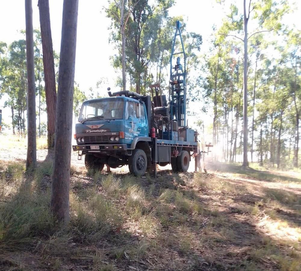
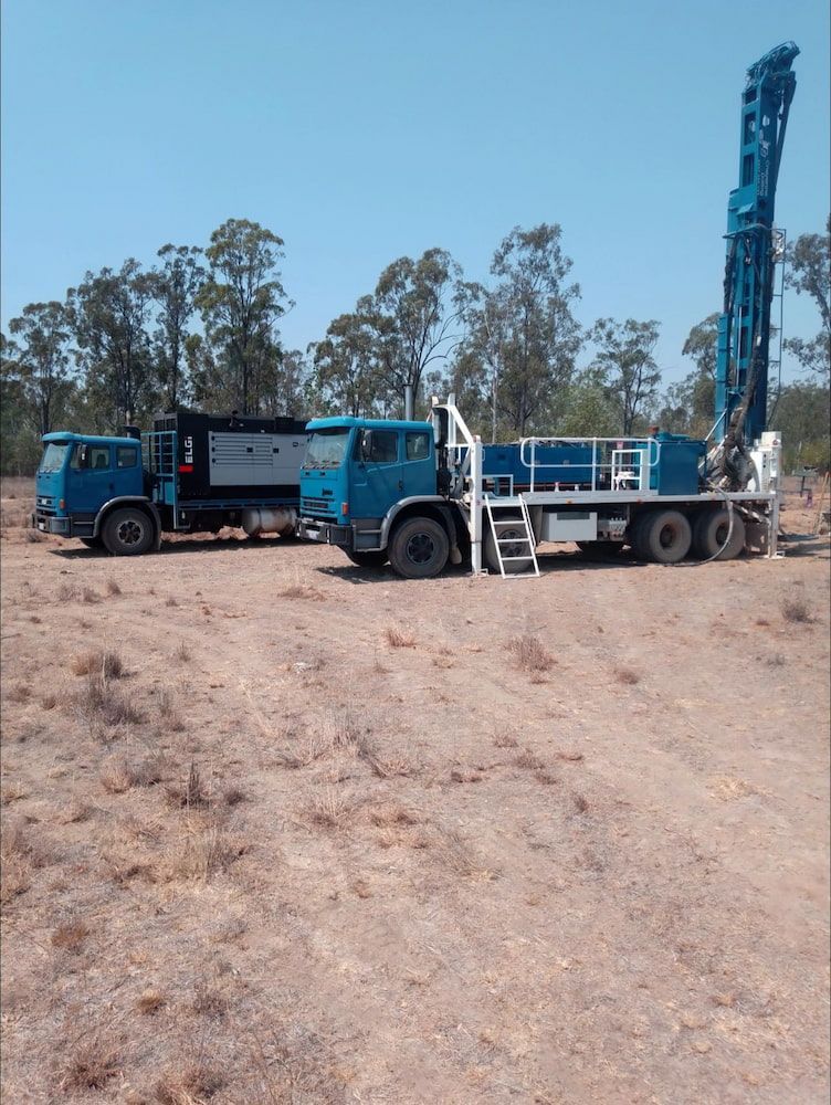
Before drilling begins, it’s essential to know where your best chances of striking groundwater lie. In the Wide Bay–Burnett region, Cheyenne Drilling offers water divining services to help property owners make informed choices. With over 16 years of experience across inland farms, coastal plains and undulating rural blocks, we understand how water behaves beneath the surface in this part of Queensland. Water divining, also called dowsing, uses basic tools and local insight to identify subsurface water paths that may not be obvious from the surface.
Whether your land is rocky, sloped or dry on top, our approach can highlight promising areas to drill, reducing the risk of unsuccessful bores. This method suits property owners who want a reliable, low-cost way to assess potential bore sites before committing to excavation. We perform onsite assessments, offer immediate feedback, and support you through the planning process.
For honest advice and practical insight across Wide Bay–Burnett, get in touch with Cheyenne Drilling on 0447 280 143 for a free quote.
Reduce Unnecessary Costs
Increase Bore Success
Trusted Local Knowledge
Practical Tools
Adapted for Local Terrain
The Wide Bay–Burnett region covers everything from flat cane fields to rugged bushland. That variability means a one-size-fits-all approach to drilling won’t work. Our divining service adapts to each site’s specific conditions, from soil type to surface features.
We’ll inspect your land on foot, map out viable options, and explain our findings in clear terms. This extra step can prevent wasted effort and help you plan a bore that fits your property’s actual groundwater flow. It’s a down-to-earth solution for landowners who want results.
What is water divining?
Water divining, also known as dowsing, is a method used to locate underground water sources using divining rods. It is based on the ability of the rods to respond to the presence of water through subtle movements or changes in direction.
How does water divining work?
Water divining involves holding or walking with divining rods and allowing them to move or react when passing over an underground water source. The rods are able to locate water by responding to the water’s energy and electromagnetic field.
Why is divining useful in such a large area?
The Wide Bay–Burnett region includes a wide range of terrains, from coastal sands to inland clays. These differences affect groundwater flow, depth and accessibility. A property in Bundaberg might behave very differently to one in Gayndah or Biggenden. Water divining provides a low-cost, location-specific method to read those differences before drilling. It doesn’t require machinery or expensive surveys and often delivers valuable insight that aligns with bore success in these mixed environments.
How does divining compare to geological mapping?
While geological mapping provides detailed subsurface data, it can be expensive, slow, and not always available for small-scale or rural projects. Water divining offers a fast and cost-effective alternative that delivers on-the-ground results for individual properties. Especially in the Wide Bay–Burnett region, where many rural landowners operate on tight budgets, divining allows you to identify viable bore locations without committing to high consultancy costs or advanced surveying.


